Find free camping, public land, and overnight spots without guessing the rules.
GoSpotCamp organizes free campsites, dispersed camping, BLM land, and National Forest options into a faster decision flow with access notes, verification context, and conservative warnings before you leave pavement.
10
featured state hubs
12
featured camping spots
6
top reviewed spots

Transfer Campground
Colorado
Editorial story / outdoor decision map
Built to answer the overnight question first, then move into access, rules, and nearby alternatives.
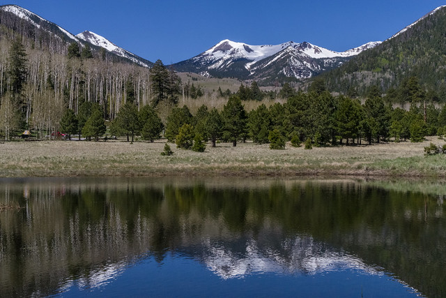
Lockett Meadow Campground
Arizona
Public land view
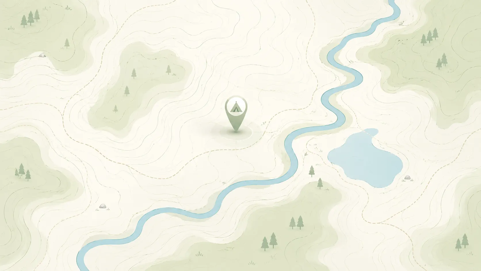
Browse public land before you drive
The homepage stays focused on the key planning checks instead of making the hero carry everything.
Road conditions are user-reported and may change quickly.
GoSpotCamp combines official sources and user-reported conditions. Review the methodology before relying on a route or overnight plan.
Overnight status
Confirm whether the page says overnight camping is allowed, likely allowed, or still unknown.
Vehicle fit
Compare the access note, road condition, and whether the route looks better for 2WD, high clearance, or RVs.
Facilities
Check for potable water, vault toilets, dump stations, and cell signal before you commit to the drive.
Freshness
Look for the latest verification context and any fire, closure, or permit warnings.
Use these state pages when you want a tighter browse path than the map alone.
Keep these checks visible before the full spot page so the map and state hubs stay useful.
Road conditions are user-reported and may change quickly.
GoSpotCamp combines official sources and user-reported conditions. Review the methodology before relying on a route or overnight plan.
Overnight status
Confirm whether the page says overnight camping is allowed, likely allowed, or still unknown.
Vehicle fit
Compare the access note, road condition, and whether the route looks better for 2WD, high clearance, or RVs.
Facilities
Check for potable water, vault toilets, dump stations, and cell signal before you commit to the drive.
Freshness
Look for the latest verification context and any fire, closure, or permit warnings.
Use the live map when you want to continue from browsing into interactive trip planning.
The page structure keeps the fastest decision signals visible before the full spot page.
Use these landing pages when you want a faster text-first browse path into free camping, RV-friendly public land, or dispersed camping.
Start with nearby no-fee camping options on public land.
Focus on no-fee campgrounds with practical access details.
Compare free campsite pages with access notes and source context.
Narrow to RV-friendly overnight options and rig-fit notes.
Open public-land dispersed camping results around your area.
Browse nearby BLM camping with rules and road context.
Look for free RV camping and public-land overnight options.
Find no-hookup camping options for vans and RVs.
Browse dispersed camping and Forest Service rules.
Start with nearby Forest Service camping results.
Focus on free camping options that work better for tents.
Use the public-land checklist before choosing a campsite.
Understand rules, maps, and public-land camping basics.
Check fees, permits, fires, closures, and posted restrictions.
Start with a shortlist of public camping pages that already have real details, warnings, and internal links.
Campground · Federal agency · Idaho
The Ice Hole Campground offers 10 campsites in a peaceful, remote setting near mountain slopes covered in dense pine forest. Peak season for the campground is typically early June through late September. It can be accessed by most vehicles; however the road is narrow and may be rough in spots.
Campground · Federal agency · Oregon
This highly used campground is ideally located right on the Chewaucan River, 20 minutes south of Paisley, Oregon. Chewaucan Crossing Trailhead, within the campground, accesses Fremont National Recreation Trail #160 a
Campground · Federal agency · Washington
This site is a small camping site with a lean-to shelter and a fire ring. This is located in an attractive wooded area on the south flank of Mt. Adams. It is popular for winter recreation. A trail that is part of the Gotchen Creek Trail
Camping spot · Federal agency · Arizona
Campground · Federal agency · California
Campground · Federal agency · Colorado
West Dolores Campground, located approximately a mile north of Mavreeso Campground, has 18 campsites on 10 acres near the river. Most campsites are shady and level. There are 10 reservable campsites, 7 campsites with electrical hookups and several that are suitable for large RVs. A site near
Campground · Federal agency · New Mexico
Small (4 unit) campsite without water is popular nonetheless due to cool mountain setting and proximity to Withington Lookout 2 (steep) miles away
Campground · Federal agency · Utah
Aspen Grove Campground is located in a mountainous area near Soldier Creek Dam above the Soldier Creek section of beautiful Strawberry Reservoir. Improvements include paved roads and spurs, cement pads, tables and fire circles. There is no phone service. You must stay on the site you reserve; no site
Campground · Federal agency · Oregon
Located approximately one hour from Paisley, Oregon, Happy Camp is a campground ideally located along peaceful Dairy Creek. The stream flows through the middle of the campground, offering fishing opportunities for rainbow trout. At an elevation of 5289, this campground features nine camping sites. A
Campground · Federal agency · Washington
Bell Bay Campground is a prime place to set up camp on Coeur d'Alene Lake
Primitive campsite · Federal agency · Arizona
This primitive campground offers a scenic view of the San Francisco Peaks and dry camping in the cool aspen trees that surround Lockett Meadow. This is a terrific campground for those who cherish a real mountain camping experience and love to hike wilderness trails. You may catch a glimpse of the natural residents,
Campground · Federal agency · California
Cave Campground opens Wednesday, April 26 for the summer season. Cave Campground is right on Hat Creek and across the road from the Subway Cave . All sites have fire rings and barbeques. Cave Campground offers Hat Cree
These pages already have stronger review signals and can serve as good early crawl targets.
Dispersed camping area · Federal agency · New Mexico
8 units with fishing access. Popular with motorcylists.
Campground · Federal agency · Arizona
-->Tortilla Campground is a winter campground just outside of the Phoenix metropolitan area. From October to March each year, urban dwellers take advantage of cooler temper
Campground · Federal agency · New Mexico
Lower Red Canyon Campground is open for the season. Upper Red Canyon is open for the season. Sites: 38 Elevation: 7,600 Large, well shaded campground (38 units + 11 picnic sites in the lower loop). This&nb
Primitive campsite · Federal agency · Arizona
This primitive campground offers a scenic view of the San Francisco Peaks and dry camping in the cool aspen trees that surround Lockett Meadow. This is a terrific campground for those who cherish a real mountain camping experience and love to hike wilderness trails. You may catch a glimpse of the natural residents,
Campground · Federal agency · Colorado
West Dolores Campground, located approximately a mile north of Mavreeso Campground, has 18 campsites on 10 acres near the river. Most campsites are shady and level. There are 10 reservable campsites, 7 campsites with electrical hookups and several that are suitable for large RVs. A site near
Dispersed camping area · Federal agency · New Mexico
Small roadside camping area (3 sites) provides access to Red River fishing and hiking
These state links also stay visible in the footer so campers and search engines can keep discovering the main landing pages.